Bramcote Hills Park
Introduction
The photograph on this page of Bramcote Hills Park by Alan Murray-Rust as part of the Geograph project.
The Geograph project started in 2005 with the aim of publishing, organising and preserving representative images for every square kilometre of Great Britain, Ireland and the Isle of Man.

There are currently over 7.5m images from over 14,400 individuals and you can help contribute to the project by visiting https://www.geograph.org.uk
Bramcote Hills Park
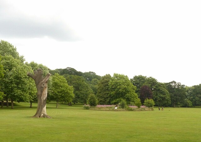
Image: © Alan Murray-Rust Taken: 9 Aug 2021
Recreating this 'First' for the square https://www.geograph.org.uk/photo/17663 . Not quite the same angle, as I was constrained by the presence of family groups enjoying the park. The two main trees in the original view have now come to the end of their natural lives. The nearer one remains as an upright trunk, but the further one had decayed and by 2007 had been fenced off so that it could be allowed to fall naturally without affecting visitors to the park. This occurred in August 2012, and the fenced area has been allowed to regenerate naturally – degenerate in the case of the fallen tree! This has also been partially sculpted http://www.geograph.org.uk/photo/6928782 .
Images are licensed for reuse under creativecommons.org/licenses/by-sa/2.0
Image Location
Latitude
52.940572
Longitude
-1.255955