Carved arch entry to Avon Meadows
Introduction
The photograph on this page of Carved arch entry to Avon Meadows by Jeff Gogarty as part of the Geograph project.
The Geograph project started in 2005 with the aim of publishing, organising and preserving representative images for every square kilometre of Great Britain, Ireland and the Isle of Man.

There are currently over 7.5m images from over 14,400 individuals and you can help contribute to the project by visiting https://www.geograph.org.uk
Carved arch entry to Avon Meadows
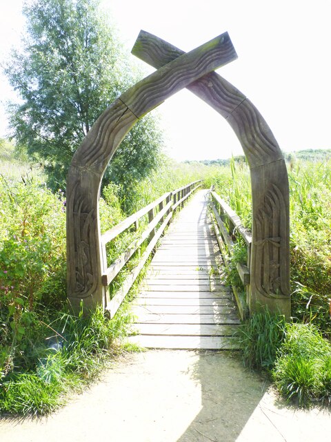
Image: © Jeff Gogarty Taken: 10 Aug 2021
Avon Meadows Community Wetland and Local Nature Reserve cover 24 hectares of floodplain grassland and is on the edge of Pershore. It is jointly owned by Wychavon and Pershore Town Council and maintained by the Worcestershire Wildlife Trust.
Images are licensed for reuse under creativecommons.org/licenses/by-sa/2.0
Image Location
Latitude
52.117067
Longitude
-2.073122