Downstream along the Derwent
Introduction
The photograph on this page of Downstream along the Derwent by Gordon Hatton as part of the Geograph project.
The Geograph project started in 2005 with the aim of publishing, organising and preserving representative images for every square kilometre of Great Britain, Ireland and the Isle of Man.

There are currently over 7.5m images from over 14,400 individuals and you can help contribute to the project by visiting https://www.geograph.org.uk
Downstream along the Derwent
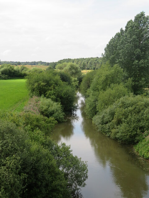
Image: © Gordon Hatton Taken: 9 Aug 2021
The Derwent isn't a large river, the overhanging vegetation here making it look even narrower than it is. The Derwent drains most of the southern half of the North York Moors and is prone to flooding.
Images are licensed for reuse under creativecommons.org/licenses/by-sa/2.0
Image Location
Latitude
53.989003
Longitude
-0.922602