
Torver Low Common near Stable Harvey
Introduction
The photograph on this page of Torver Low Common near Stable Harvey by Adrian Taylor as part of the Geograph project.
The Geograph project started in 2005 with the aim of publishing, organising and preserving representative images for every square kilometre of Great Britain, Ireland and the Isle of Man.

There are currently over 7.5m images from over 14,400 individuals and you can help contribute to the project by visiting https://www.geograph.org.uk
Torver Low Common near Stable Harvey
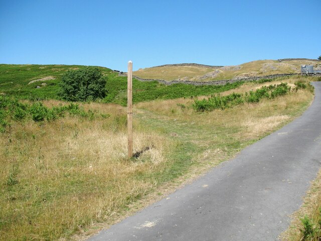
Image: © Adrian Taylor Taken: 3 Jul 2018
The path leaves the minor road from Brown Howe to Stable Harvey. It is signposted for The Cumbria Way long distance path which has followed the minor road northwards for approximately 60m (65 yards) and walkers following The Cumbria Way normally take this route (next photograph Image). The signpost is mis-located as the public right of way (and the official route of The Cumbria Way) leaves the road some 55m (60 yards) further to the north east towards Stable Harvey Farm. The land here is Access Land so no trespass is incurred. The grass is parched due to a prolonged period of dry weather.
Images are licensed for reuse under creativecommons.org/licenses/by-sa/2.0
Image Location

Latitude
54.315531
Longitude
-3.105118