Cape Road, Warwick
Introduction
The photograph on this page of Cape Road, Warwick by Stephen McKay as part of the Geograph project.
The Geograph project started in 2005 with the aim of publishing, organising and preserving representative images for every square kilometre of Great Britain, Ireland and the Isle of Man.

There are currently over 7.5m images from over 14,400 individuals and you can help contribute to the project by visiting https://www.geograph.org.uk
Cape Road, Warwick
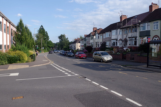
Image: © Stephen McKay Taken: 4 Aug 2021
Looking towards the town centre from the junction with Lower Cape. The Cape name comes from the nearby Cape of Good Hope pub.
Images are licensed for reuse under creativecommons.org/licenses/by-sa/2.0
Image Location
Latitude
52.290093
Longitude
-1.595749