Church Lane Stanway
Introduction
The photograph on this page of Church Lane Stanway by Glyn Baker as part of the Geograph project.
The Geograph project started in 2005 with the aim of publishing, organising and preserving representative images for every square kilometre of Great Britain, Ireland and the Isle of Man.

There are currently over 7.5m images from over 14,400 individuals and you can help contribute to the project by visiting https://www.geograph.org.uk
Church Lane Stanway
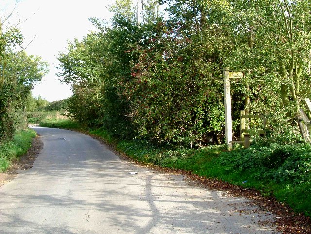
Image: © Glyn Baker Taken: 23 Oct 2005
This is church lane Stanway the Church in question is St Albrights Image the footpath to the right end goes to Bell House Farm.
Images are licensed for reuse under creativecommons.org/licenses/by-sa/2.0
Image Location
Latitude
51.878007
Longitude
0.821391