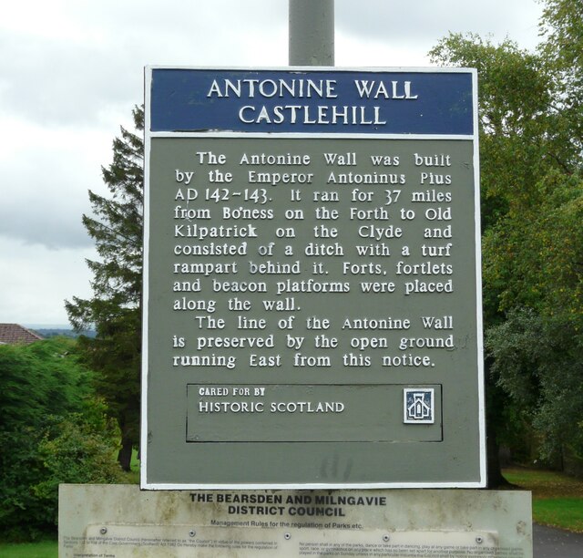
Sign: Antonine Wall Castlehill
Introduction
The photograph on this page of Sign: Antonine Wall Castlehill by Richard Sutcliffe as part of the Geograph project.
The Geograph project started in 2005 with the aim of publishing, organising and preserving representative images for every square kilometre of Great Britain, Ireland and the Isle of Man.
There are currently over 7.5m images from over 14,400 individuals and you can help contribute to the project by visiting https://www.geograph.org.uk

Image: © Richard Sutcliffe Taken: 8 Aug 2021
The Antonine Wall was built by the Emperor Antonius Pius AD 142-143. It ran for 37 miles from Bo’ness on the Forth to Old Kilpatrick on the Clyde and consisted of a ditch with a turf rampart behind it. Forts, fortlets and beacon platforms were placed along the wall. The line of the Antonine Wall is preserved by the open ground running East from this notice. Cared for by Historic Scotland Image

