View across fields towards Llwyndyrys Farm
Introduction
The photograph on this page of View across fields towards Llwyndyrys Farm by Eric Jones as part of the Geograph project.
The Geograph project started in 2005 with the aim of publishing, organising and preserving representative images for every square kilometre of Great Britain, Ireland and the Isle of Man.

There are currently over 7.5m images from over 14,400 individuals and you can help contribute to the project by visiting https://www.geograph.org.uk
View across fields towards Llwyndyrys Farm
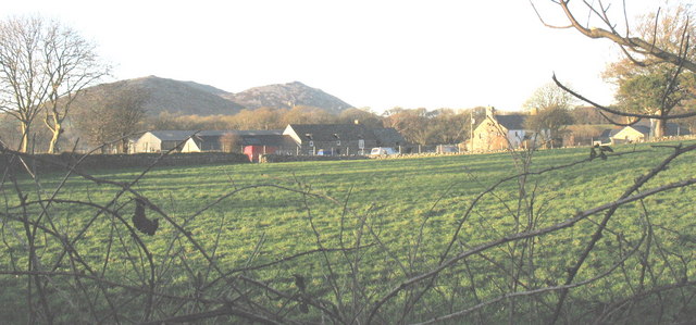
Image: © Eric Jones Taken: 13 Feb 2008
The spelling "Llwyndyrus Farm" found on the current 1:25000 OS map is incorrect. The spelling used on earlier OS maps (from the 1840s onwards) had been "Llwyndyrys".
Images are licensed for reuse under creativecommons.org/licenses/by-sa/2.0
Image Location
Latitude
52.940256
Longitude
-4.403247