Field, Dunblane
Introduction
The photograph on this page of Field, Dunblane by Richard Webb as part of the Geograph project.
The Geograph project started in 2005 with the aim of publishing, organising and preserving representative images for every square kilometre of Great Britain, Ireland and the Isle of Man.

There are currently over 7.5m images from over 14,400 individuals and you can help contribute to the project by visiting https://www.geograph.org.uk
Field, Dunblane
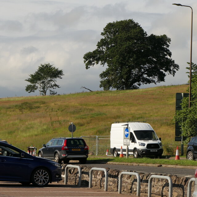
Image: © Richard Webb Taken: 2 Aug 2021
Not yet built upon but one lane of the old A9 was closed and there was some Heras fencing up. Something may be happening.
Images are licensed for reuse under creativecommons.org/licenses/by-sa/2.0
Image Location
Latitude
56.181011
Longitude
-3.967009