Topcliffe, 18 Long Street
Introduction
The photograph on this page of Topcliffe, 18 Long Street by Mel Towler as part of the Geograph project.
The Geograph project started in 2005 with the aim of publishing, organising and preserving representative images for every square kilometre of Great Britain, Ireland and the Isle of Man.

There are currently over 7.5m images from over 14,400 individuals and you can help contribute to the project by visiting https://www.geograph.org.uk
Topcliffe, 18 Long Street
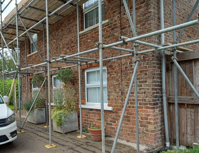
Image: © Mel Towler Taken: 31 Jul 2021
This property is on the north side of Long Street in Topcliffe village. According to early OS maps there should be a benchmark on this front facing wall, to the right. There was nothing to see and conclude that the mark is likely destroyed.
Images are licensed for reuse under creativecommons.org/licenses/by-sa/2.0
Image Location
Latitude
54.178216
Longitude
-1.385601