Bakers Lane & Braiswick
Introduction
The photograph on this page of Bakers Lane & Braiswick by Glyn Baker as part of the Geograph project.
The Geograph project started in 2005 with the aim of publishing, organising and preserving representative images for every square kilometre of Great Britain, Ireland and the Isle of Man.

There are currently over 7.5m images from over 14,400 individuals and you can help contribute to the project by visiting https://www.geograph.org.uk
Bakers Lane & Braiswick
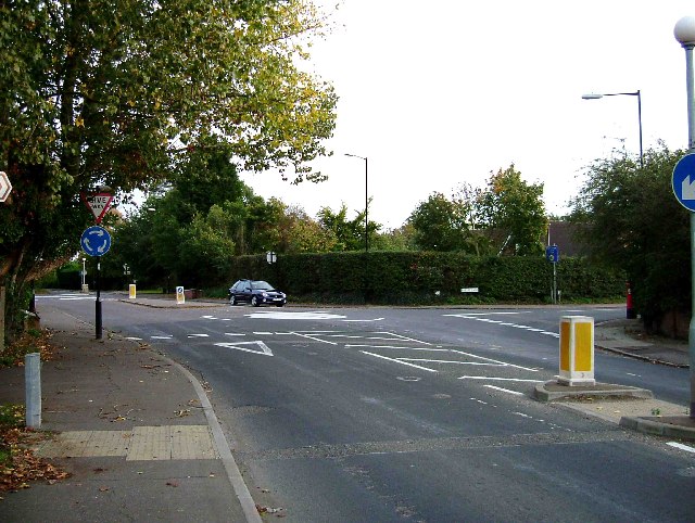
Image: © Glyn Baker Taken: 22 Oct 2005
This is the Junction of the B1508 in Braiswick and Bakers lane (to the right). Bakers Lane runs from here to Lexden west of Colchester town centre. The grid reference is for the 43m Spot Height that is plumb under the mini roundabout. The picture was taken looking towards Colchester.
Images are licensed for reuse under creativecommons.org/licenses/by-sa/2.0
Image Location
Latitude
51.90641
Longitude
0.874062