House by A390 in West Taphouse
Introduction
The photograph on this page of House by A390 in West Taphouse by David Smith as part of the Geograph project.
The Geograph project started in 2005 with the aim of publishing, organising and preserving representative images for every square kilometre of Great Britain, Ireland and the Isle of Man.

There are currently over 7.5m images from over 14,400 individuals and you can help contribute to the project by visiting https://www.geograph.org.uk
House by A390 in West Taphouse
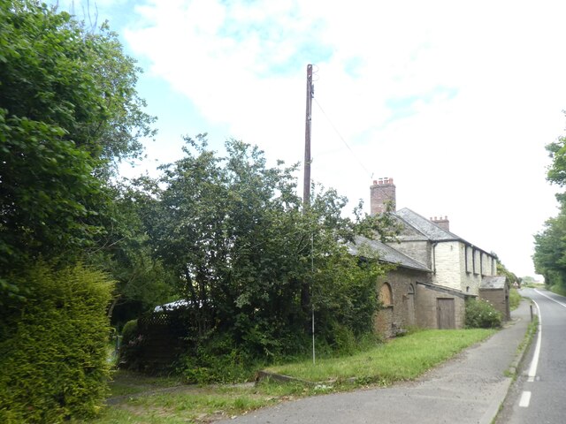
Image: © David Smith Taken: 6 Jul 2021
From the appearance, this was (is?) a farmhouse. A porch onto the main road is not a feature to be found on modern houses! Listed https://www.heritagegateway.org.uk/Gateway/Results_Single.aspx?uid=1312613&resourceID=5 as 'Former coaching inn and stables, now farmhouse'.
Images are licensed for reuse under creativecommons.org/licenses/by-sa/2.0
Image Location
Latitude
50.44006
Longitude
-4.606123