Leault Burn, Kincraig
Introduction
The photograph on this page of Leault Burn, Kincraig by Richard Webb as part of the Geograph project.
The Geograph project started in 2005 with the aim of publishing, organising and preserving representative images for every square kilometre of Great Britain, Ireland and the Isle of Man.

There are currently over 7.5m images from over 14,400 individuals and you can help contribute to the project by visiting https://www.geograph.org.uk
Leault Burn, Kincraig
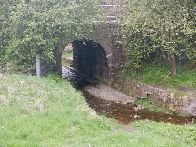
Image: © Richard Webb Taken: 29 May 2021
In normal conditions the bridge allows crossing the railway, there are steps down into the burn and a walkway.
Images are licensed for reuse under creativecommons.org/licenses/by-sa/2.0
Image Location


Leaflet Map data © OpenStreetMap
Latitude
57.130349
Longitude
-3.927379