Birmingham Road, Six Ways
Introduction
The photograph on this page of Birmingham Road, Six Ways by Derek Bennett as part of the Geograph project.
The Geograph project started in 2005 with the aim of publishing, organising and preserving representative images for every square kilometre of Great Britain, Ireland and the Isle of Man.

There are currently over 7.5m images from over 14,400 individuals and you can help contribute to the project by visiting https://www.geograph.org.uk
Birmingham Road, Six Ways
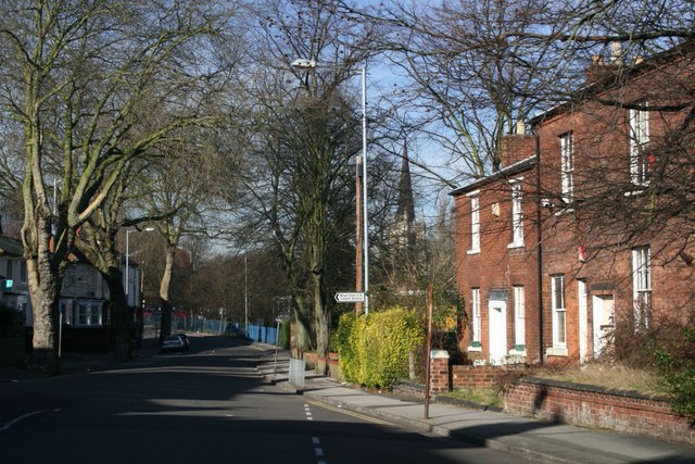
Image: © Derek Bennett Taken: 10 Feb 2008
Looking along Birmingham Road from Six Ways towards the Wheatsheaf pub and St Matthew's church.
Images are licensed for reuse under creativecommons.org/licenses/by-sa/2.0
Image Location
Latitude
52.58053
Longitude
-1.976049