Street in Horton going uphill
Introduction
The photograph on this page of Street in Horton going uphill by Des Blenkinsopp as part of the Geograph project.
The Geograph project started in 2005 with the aim of publishing, organising and preserving representative images for every square kilometre of Great Britain, Ireland and the Isle of Man.

There are currently over 7.5m images from over 14,400 individuals and you can help contribute to the project by visiting https://www.geograph.org.uk
Street in Horton going uphill
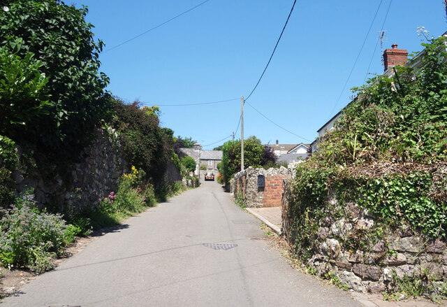
Image: © Des Blenkinsopp Taken: 20 Jul 2021
The streets in Horton form a sort of square so it has a one way system with an up road and a down road, which avoids many of the usual narrow lane encounters.
Images are licensed for reuse under creativecommons.org/licenses/by-sa/2.0
Image Location
Latitude
51.551093
Longitude
-4.203511