Cottage at Tythecott
Introduction
The photograph on this page of Cottage at Tythecott by Derek Harper as part of the Geograph project.
The Geograph project started in 2005 with the aim of publishing, organising and preserving representative images for every square kilometre of Great Britain, Ireland and the Isle of Man.

There are currently over 7.5m images from over 14,400 individuals and you can help contribute to the project by visiting https://www.geograph.org.uk
Cottage at Tythecott
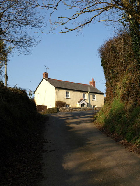
Image: © Derek Harper Taken: 16 Feb 2008
The steep lane from Thornehillhead climbs to a junction at the west edge of the hamlet.
Images are licensed for reuse under creativecommons.org/licenses/by-sa/2.0
Image Location
Latitude
50.936352
Longitude
-4.257865