The Cottage, Motts Down
Introduction
The photograph on this page of The Cottage, Motts Down by Simon Carey as part of the Geograph project.
The Geograph project started in 2005 with the aim of publishing, organising and preserving representative images for every square kilometre of Great Britain, Ireland and the Isle of Man.

There are currently over 7.5m images from over 14,400 individuals and you can help contribute to the project by visiting https://www.geograph.org.uk
The Cottage, Motts Down
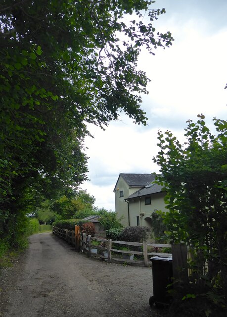
Image: © Simon Carey Taken: 4 Aug 2021
The single cottage was built around the 1950s and was called Motts Down Cottage on the 1970 OS map. Probably changed due to nearby Motts Down Cottages that would confuse too many postmen and other traders.
Images are licensed for reuse under creativecommons.org/licenses/by-sa/2.0
Image Location
Latitude
51.096464
Longitude
0.166781