Middle Field/Upper Seven Acres
Introduction
The photograph on this page of Middle Field/Upper Seven Acres by Simon Carey as part of the Geograph project.
The Geograph project started in 2005 with the aim of publishing, organising and preserving representative images for every square kilometre of Great Britain, Ireland and the Isle of Man.

There are currently over 7.5m images from over 14,400 individuals and you can help contribute to the project by visiting https://www.geograph.org.uk
Middle Field/Upper Seven Acres
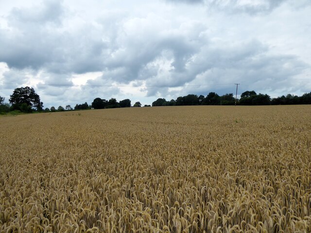
Image: © Simon Carey Taken: 4 Aug 2021
The name of the fields according to Withyham's 1842 tithe map that have been merged to form a larger unit. Middle Field is in the foreground adjacent to the public footpath to Cherry Gardens Hill, the B2188, whilst Upper Seven Acres is to the south. Both are bounded to the east by Motts Down.
Images are licensed for reuse under creativecommons.org/licenses/by-sa/2.0
Image Location
Latitude
51.098388
Longitude
0.169728