Coastal view at Hastings Country Park Nature Reserve
Introduction
The photograph on this page of Coastal view at Hastings Country Park Nature Reserve by Marathon as part of the Geograph project.
The Geograph project started in 2005 with the aim of publishing, organising and preserving representative images for every square kilometre of Great Britain, Ireland and the Isle of Man.

There are currently over 7.5m images from over 14,400 individuals and you can help contribute to the project by visiting https://www.geograph.org.uk
Coastal view at Hastings Country Park Nature Reserve
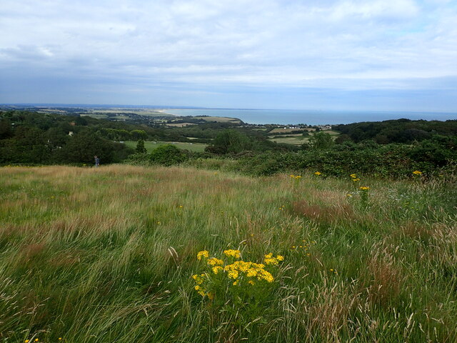
Image: © Marathon Taken: 2 Aug 2021
Hastings Country Park Nature Reserve consists of 853 acres of ancient woodland, heathland, grassland and farmland together with three miles of sandstone cliffs and coastline. This view from near the Visitor Centre looks along the coast at Pett Level towards Winchelsea Beach and Romney Marsh. The coastline curves away towards Dungeness on the right.
Images are licensed for reuse under creativecommons.org/licenses/by-sa/2.0
Image Location


Leaflet Map data © OpenStreetMap
Latitude
50.872831
Longitude
0.644802