Bridge 98 (Grand Union Canal) Water Eaton
Introduction
The photograph on this page of Bridge 98 (Grand Union Canal) Water Eaton by Ryan Griffiths as part of the Geograph project.
The Geograph project started in 2005 with the aim of publishing, organising and preserving representative images for every square kilometre of Great Britain, Ireland and the Isle of Man.

There are currently over 7.5m images from over 14,400 individuals and you can help contribute to the project by visiting https://www.geograph.org.uk
Bridge 98 (Grand Union Canal) Water Eaton
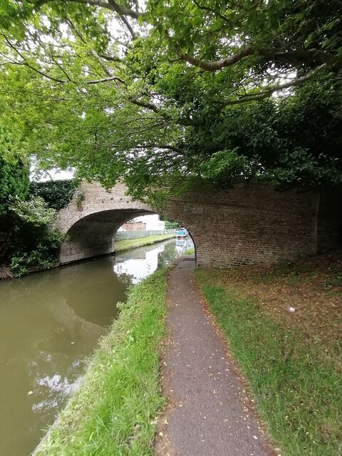
Image: © Ryan Griffiths Taken: 2 Aug 2021
Bridge 98 carries Mill Road over the canal to Water Eaton Mill and Waterhall Park.
Images are licensed for reuse under creativecommons.org/licenses/by-sa/2.0
Image Location
Latitude
51.988007
Longitude
-0.717391