High Banks Steading, nr Kirkcudbright
Introduction
The photograph on this page of High Banks Steading, nr Kirkcudbright by Forrest and Jen as part of the Geograph project.
The Geograph project started in 2005 with the aim of publishing, organising and preserving representative images for every square kilometre of Great Britain, Ireland and the Isle of Man.

There are currently over 7.5m images from over 14,400 individuals and you can help contribute to the project by visiting https://www.geograph.org.uk
High Banks Steading, nr Kirkcudbright
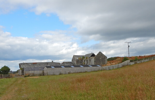
Image: © Forrest and Jen Taken: 1 Aug 2021
Now in ruins, High Banks Steading dates back to before 1850. The wooden stables in the foreground were built about 2018. To the NW is High Banks House.
Images are licensed for reuse under creativecommons.org/licenses/by-sa/2.0
Image Location
Latitude
54.820705
Longitude
-4.015504