The Fairways
Introduction
The photograph on this page of The Fairways by Ian Capper as part of the Geograph project.
The Geograph project started in 2005 with the aim of publishing, organising and preserving representative images for every square kilometre of Great Britain, Ireland and the Isle of Man.

There are currently over 7.5m images from over 14,400 individuals and you can help contribute to the project by visiting https://www.geograph.org.uk
The Fairways
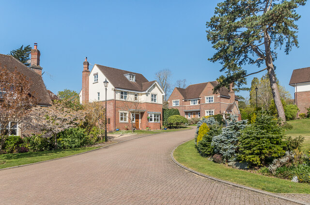
Image: © Ian Capper Taken: 19 Apr 2021
Cul-de-sac off Somerset Road, built in c.1998 on the site of four early 20th Century houses, Greenside, Meadhurst, Hill End and Ardmore.
Images are licensed for reuse under creativecommons.org/licenses/by-sa/2.0
Image Location
Latitude
51.22566
Longitude
-0.185655