Greenmead Cottage and The Mount
Introduction
The photograph on this page of Greenmead Cottage and The Mount by Ian Capper as part of the Geograph project.
The Geograph project started in 2005 with the aim of publishing, organising and preserving representative images for every square kilometre of Great Britain, Ireland and the Isle of Man.

There are currently over 7.5m images from over 14,400 individuals and you can help contribute to the project by visiting https://www.geograph.org.uk
Greenmead Cottage and The Mount
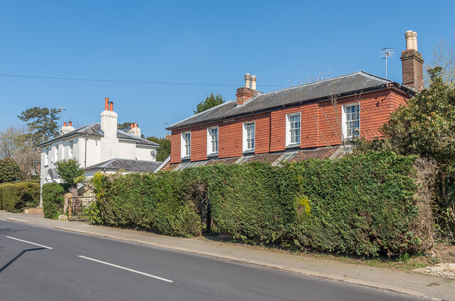
Image: © Ian Capper Taken: 19 Apr 2021
Two 19th Century villas on Somerset Road, with Greenmead Cottage on the left and The Mount on the right. Both are grade II listed - see www.historicengland.org.uk/listing/the-list/list-entry/1029070 and www.historicengland.org.uk/listing/the-list/list-entry/1189084 respectively.
Images are licensed for reuse under creativecommons.org/licenses/by-sa/2.0
Image Location
Latitude
51.225958
Longitude
-0.184011