Barras Lane, Spon End, Coventry
Introduction
The photograph on this page of Barras Lane, Spon End, Coventry by A J Paxton as part of the Geograph project.
The Geograph project started in 2005 with the aim of publishing, organising and preserving representative images for every square kilometre of Great Britain, Ireland and the Isle of Man.

There are currently over 7.5m images from over 14,400 individuals and you can help contribute to the project by visiting https://www.geograph.org.uk
Barras Lane, Spon End, Coventry
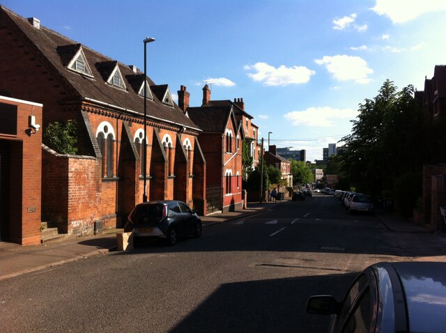
Image: © A J Paxton Taken: 12 Jun 2021
This is a view of Barras Lane looking south towards Butts Road. The former synagogue and rabbi's house can be seen on the left.
Images are licensed for reuse under creativecommons.org/licenses/by-sa/2.0
Image Location
Latitude
52.409208
Longitude
-1.522041