Vicarage Avenue
Introduction
The photograph on this page of Vicarage Avenue by Stephen Craven as part of the Geograph project.
The Geograph project started in 2005 with the aim of publishing, organising and preserving representative images for every square kilometre of Great Britain, Ireland and the Isle of Man.

There are currently over 7.5m images from over 14,400 individuals and you can help contribute to the project by visiting https://www.geograph.org.uk
Vicarage Avenue
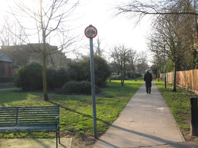
Image: © Stephen Craven Taken: 16 Feb 2008
As the map shows, this strip of greenery, with a footpath, between suburban streets follows the route of a railway tunnel below. Presumably it was not possible to build houses over the tunnel.
Images are licensed for reuse under creativecommons.org/licenses/by-sa/2.0
Image Location
Latitude
51.475451
Longitude
0.019952