Cereal crop, South Kingennie
Introduction
The photograph on this page of Cereal crop, South Kingennie by JThomas as part of the Geograph project.
The Geograph project started in 2005 with the aim of publishing, organising and preserving representative images for every square kilometre of Great Britain, Ireland and the Isle of Man.

There are currently over 7.5m images from over 14,400 individuals and you can help contribute to the project by visiting https://www.geograph.org.uk
Cereal crop, South Kingennie
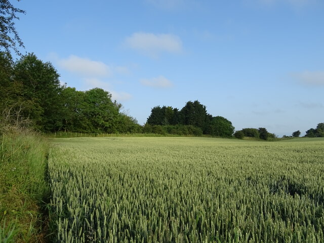
Image: © JThomas Taken: 20 Jul 2021
The line of trees marks the course of the former Dundee to Forfar railway.
Images are licensed for reuse under creativecommons.org/licenses/by-sa/2.0
Image Location
Latitude
56.504599
Longitude
-2.863778