New houses in Ladyland Road
Introduction
The photograph on this page of New houses in Ladyland Road by Mary and Angus Hogg as part of the Geograph project.
The Geograph project started in 2005 with the aim of publishing, organising and preserving representative images for every square kilometre of Great Britain, Ireland and the Isle of Man.

There are currently over 7.5m images from over 14,400 individuals and you can help contribute to the project by visiting https://www.geograph.org.uk
New houses in Ladyland Road
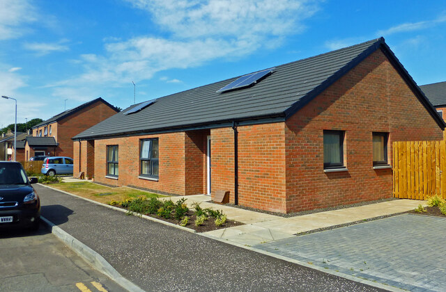
Image: © Mary and Angus Hogg Taken: 24 Jul 2021
The housing development in Maybole’s Ladyland Road is now fully occupied. The original site held the town’s Poorshouse. The site lay empty for a long time before this welcome development took place. See Image for an earlier view.
Images are licensed for reuse under creativecommons.org/licenses/by-sa/2.0
Image Location
Latitude
55.352546
Longitude
-4.686718