Footpath 5CR near Allens Farm
Introduction
The photograph on this page of Footpath 5CR near Allens Farm by Robin Webster as part of the Geograph project.
The Geograph project started in 2005 with the aim of publishing, organising and preserving representative images for every square kilometre of Great Britain, Ireland and the Isle of Man.

There are currently over 7.5m images from over 14,400 individuals and you can help contribute to the project by visiting https://www.geograph.org.uk
Footpath 5CR near Allens Farm
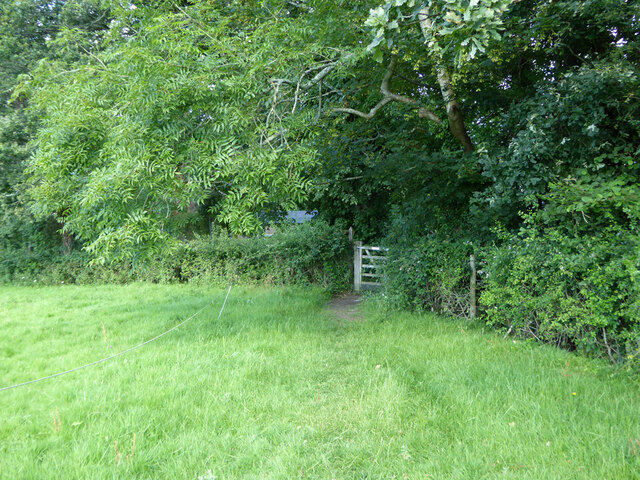
Image: © Robin Webster Taken: 29 Jul 2021
Through the gate the path drops down four or five steps to the farm approach track.
Images are licensed for reuse under creativecommons.org/licenses/by-sa/2.0
Image Location
Latitude
51.048434
Longitude
-0.175169