Path and track junction near Allens Farm
Introduction
The photograph on this page of Path and track junction near Allens Farm by Robin Webster as part of the Geograph project.
The Geograph project started in 2005 with the aim of publishing, organising and preserving representative images for every square kilometre of Great Britain, Ireland and the Isle of Man.

There are currently over 7.5m images from over 14,400 individuals and you can help contribute to the project by visiting https://www.geograph.org.uk
Path and track junction near Allens Farm
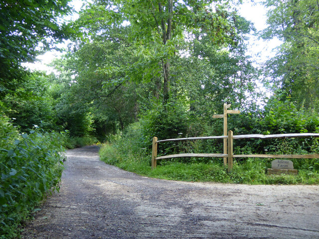
Image: © Robin Webster Taken: 29 Jul 2021
Straight on is private access to Dillion's Farm. Left is footpath 2CR to Handcross. Right is access to Allens Farm, shared part of the way with footpath 5CR which may be used as part of a route to Balcombe.
Images are licensed for reuse under creativecommons.org/licenses/by-sa/2.0
Image Location


Leaflet Map data © OpenStreetMap
Latitude
51.048182
Longitude
-0.17632