Road sign, Sky Blue Way, Coventry
Introduction
The photograph on this page of Road sign, Sky Blue Way, Coventry by A J Paxton as part of the Geograph project.
The Geograph project started in 2005 with the aim of publishing, organising and preserving representative images for every square kilometre of Great Britain, Ireland and the Isle of Man.

There are currently over 7.5m images from over 14,400 individuals and you can help contribute to the project by visiting https://www.geograph.org.uk
Road sign, Sky Blue Way, Coventry
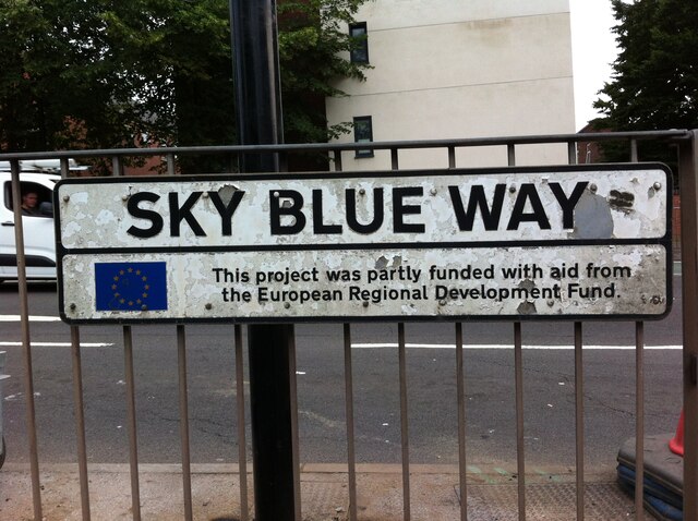
Image: © A J Paxton Taken: 22 Jul 2021
Sky Blue Way is a stretch of dual carriageway connecting the Coventry Ring Road to the A444 Jimmy Hill Way. It was built in the 1980s to bypass the historic Far Gosford Street (and clearly the European Community chipped in). It was named after the colour of Coventry City Football Club, winners of the FA Cup in 1987, who at that time still played at the Highfield Road stadium nearby (Jimmy Hill had been the manager who had brought them to first division prominence some years earlier).
Images are licensed for reuse under creativecommons.org/licenses/by-sa/2.0
Image Location
Latitude
52.408379
Longitude
-1.495589