The edge of Ruswarp
Introduction
The photograph on this page of The edge of Ruswarp by Malcolm Neal as part of the Geograph project.
The Geograph project started in 2005 with the aim of publishing, organising and preserving representative images for every square kilometre of Great Britain, Ireland and the Isle of Man.

There are currently over 7.5m images from over 14,400 individuals and you can help contribute to the project by visiting https://www.geograph.org.uk
The edge of Ruswarp
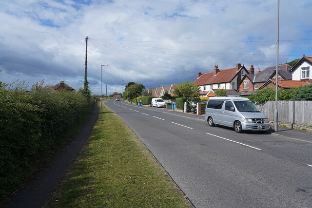
Image: © Malcolm Neal Taken: 29 Jul 2021
These houses are part of the village of Ruswarp but are at the top of a steep hill rather than in the valley bottom of the older part of the village.
Images are licensed for reuse under creativecommons.org/licenses/by-sa/2.0
Image Location


Leaflet Map data © OpenStreetMap
Latitude
54.475194
Longitude
-0.63316