Pixham Lane
Introduction
The photograph on this page of Pixham Lane by Ian Capper as part of the Geograph project.
The Geograph project started in 2005 with the aim of publishing, organising and preserving representative images for every square kilometre of Great Britain, Ireland and the Isle of Man.

There are currently over 7.5m images from over 14,400 individuals and you can help contribute to the project by visiting https://www.geograph.org.uk
Pixham Lane
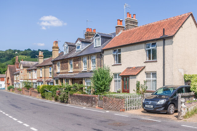
Image: © Ian Capper Taken: 22 Jul 2021
Late 19th Century cottages in Pixham Lane - the building in the centre has a plaque "Hope Cottages 1893". (The date is not entirely distinct, but since the building is marked on the 1896 1:2,500 map, 1893 would seem more appropriate the alternative of 1898.) In the left background is Pixham Church.
Images are licensed for reuse under creativecommons.org/licenses/by-sa/2.0
Image Location
Latitude
51.239165
Longitude
-0.316679