Edmundbyers, house on hill
Introduction
The photograph on this page of Edmundbyers, house on hill by Mel Towler as part of the Geograph project.
The Geograph project started in 2005 with the aim of publishing, organising and preserving representative images for every square kilometre of Great Britain, Ireland and the Isle of Man.

There are currently over 7.5m images from over 14,400 individuals and you can help contribute to the project by visiting https://www.geograph.org.uk
Edmundbyers, house on hill
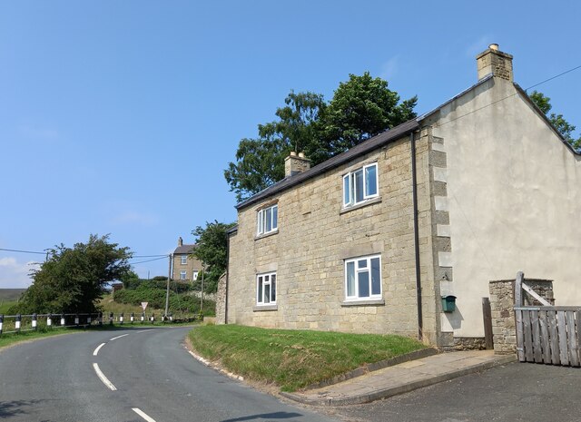
Image: © Mel Towler Taken: 21 Jul 2021
A wider angle of the frontage of this house on the hill, on the north side of the B6306, which runs through Edmundbyers and onto Blanchland. On this south-facing wall, there is the remains of a faint mark of a damaged benchmark. The cut is on the far right corner stone of the front of the property, to the right of the drainpipe.
Images are licensed for reuse under creativecommons.org/licenses/by-sa/2.0
Image Location
Latitude
54.845798
Longitude
-1.978946