Path to Hillstown and Bolsover
Introduction
The photograph on this page of Path to Hillstown and Bolsover by Bill Boaden as part of the Geograph project.
The Geograph project started in 2005 with the aim of publishing, organising and preserving representative images for every square kilometre of Great Britain, Ireland and the Isle of Man.

There are currently over 7.5m images from over 14,400 individuals and you can help contribute to the project by visiting https://www.geograph.org.uk
Path to Hillstown and Bolsover
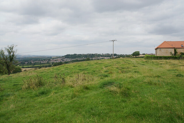
Image: © Bill Boaden Taken: 25 Jul 2021
Passing The Elms Farm, with extensive views to the left. Bolsover sits on the higher ground in the centre background.
Images are licensed for reuse under creativecommons.org/licenses/by-sa/2.0
Image Location
Latitude
53.212802
Longitude
-1.29123