Direction Sign ? Signpost on the B4289 in Swindon
Introduction
The photograph on this page of Direction Sign ? Signpost on the B4289 in Swindon by John V Nicholls as part of the Geograph project.
The Geograph project started in 2005 with the aim of publishing, organising and preserving representative images for every square kilometre of Great Britain, Ireland and the Isle of Man.

There are currently over 7.5m images from over 14,400 individuals and you can help contribute to the project by visiting https://www.geograph.org.uk
Direction Sign ? Signpost on the B4289 in Swindon
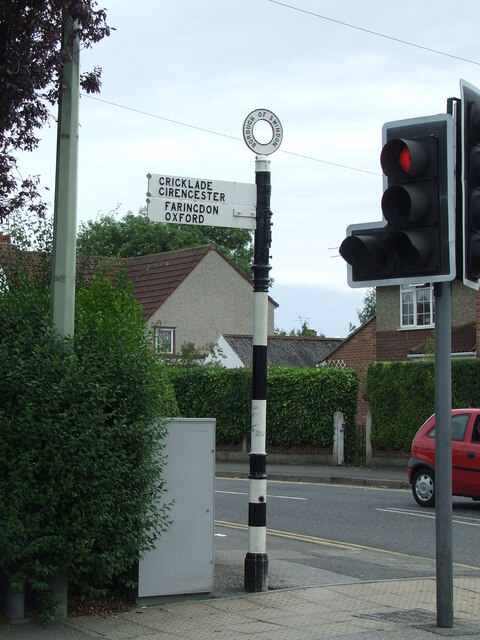
Image: © John V Nicholls Taken: 28 Jun 2009
Located on the northeast side of the crossroads of the B4289 Drove Road, Cumberland Road and Groundwell Road, Central Swindon South parish. 2 arms and annulus finial. Milestone Society National ID: WI_SU1584B
Images are licensed for reuse under creativecommons.org/licenses/by-sa/2.0
Image Location
Latitude
51.559887
Longitude
-1.771199