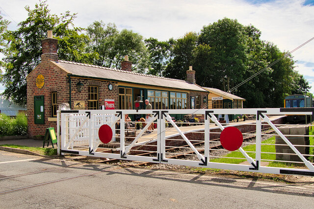
Level Crossing, Scruton Station
Introduction
The photograph on this page of Level Crossing, Scruton Station by David Dixon as part of the Geograph project.
The Geograph project started in 2005 with the aim of publishing, organising and preserving representative images for every square kilometre of Great Britain, Ireland and the Isle of Man.
There are currently over 7.5m images from over 14,400 individuals and you can help contribute to the project by visiting https://www.geograph.org.uk

Image: © David Dixon Taken: 7 Jul 2021
Scruton Lane Station was originally opened by the York, Newcastle and Berwick Railway on 6 March 1848 and later became known as Scruton Station. Used for goods, livestock and passengers, It was closed to passenger traffic by British Railways on 26 April 1954 with goods traffic continuing until 7 May 1956. It later fell into decay. Despite the station's closure, the line remained open for limestone traffic until 1992 after which it was taken over by the Wensleydale Railway which obtained a lease of the 22 miles from Northallerton to Redmire. By the time the Wensleydale Railway opened in 2003, Scruton station was in a dilapidated and overgrown state. Restoration works were undertaken with the support of Scruton Parish Council and a grant from the Railway Heritage Trust. The station was fully restored and reopened by the Wensleydale Railway Trust in 2015.

