The high point of the Clootie Well, Munlochy
Introduction
The photograph on this page of The high point of the Clootie Well, Munlochy by Julian Paren as part of the Geograph project.
The Geograph project started in 2005 with the aim of publishing, organising and preserving representative images for every square kilometre of Great Britain, Ireland and the Isle of Man.

There are currently over 7.5m images from over 14,400 individuals and you can help contribute to the project by visiting https://www.geograph.org.uk
The high point of the Clootie Well, Munlochy
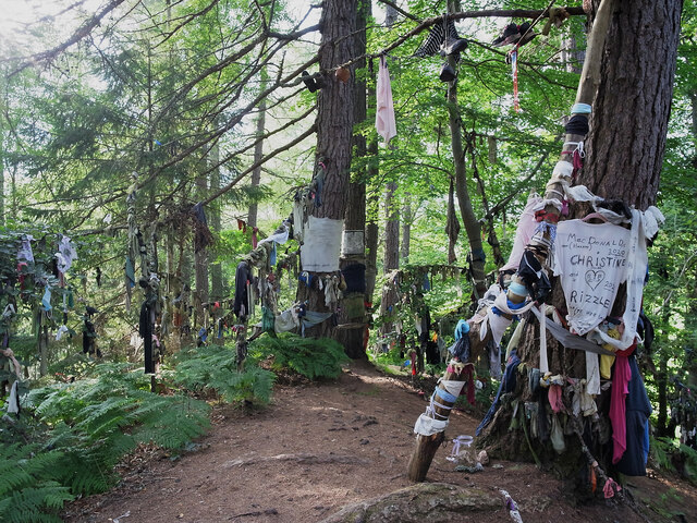
Image: © Julian Paren Taken: 26 Jul 2021
Forest and Land Scotland and Visit Scotland think this is a tourist attraction. Not a pleasant sight or site.
Images are licensed for reuse under creativecommons.org/licenses/by-sa/2.0
Image Location


Leaflet Map data © OpenStreetMap
Latitude
57.552633
Longitude
-4.273226