Pennard Pill
Introduction
The photograph on this page of Pennard Pill by Des Blenkinsopp as part of the Geograph project.
The Geograph project started in 2005 with the aim of publishing, organising and preserving representative images for every square kilometre of Great Britain, Ireland and the Isle of Man.

There are currently over 7.5m images from over 14,400 individuals and you can help contribute to the project by visiting https://www.geograph.org.uk
Pennard Pill
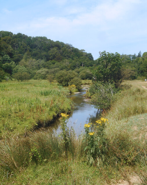
Image: © Des Blenkinsopp Taken: 22 Jul 2021
Wikipedia says "Pîl (also rendered as Pill, Pil or Pyll) is a Welsh placename element. The name is defined as the tidal reach of a waterway, suitable as a harbour, but is only common along the Bristol Channel and Severn Estuary. The highly localised distribution suggests it may have only been applicable to waterways within the tidal reach of the Severn sea." Pennard Pill meets the sea in a wide cove which may well have been a sheltered beaching place for small boats at one time.
Images are licensed for reuse under creativecommons.org/licenses/by-sa/2.0
Image Location
Latitude
51.580443
Longitude
-4.10375