Under Ware
Introduction
The photograph on this page of Under Ware by David Howard as part of the Geograph project.
The Geograph project started in 2005 with the aim of publishing, organising and preserving representative images for every square kilometre of Great Britain, Ireland and the Isle of Man.

There are currently over 7.5m images from over 14,400 individuals and you can help contribute to the project by visiting https://www.geograph.org.uk
Under Ware
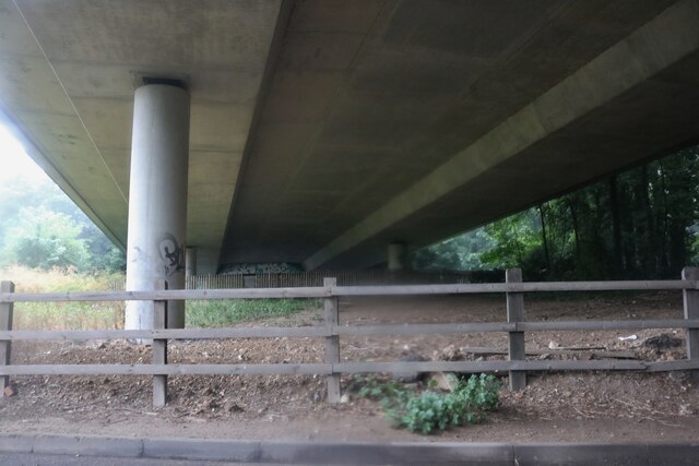
Image: © David Howard Taken: 25 Jul 2021
Hoddesdon Road going under the A414. It's actually a couple of miles south of Ware but the pun wouldn't have worked then.
Images are licensed for reuse under creativecommons.org/licenses/by-sa/2.0
Image Location
Latitude
51.782363
Longitude
-0.000872