Court Road
Introduction
The photograph on this page of Court Road by Ian Capper as part of the Geograph project.
The Geograph project started in 2005 with the aim of publishing, organising and preserving representative images for every square kilometre of Great Britain, Ireland and the Isle of Man.

There are currently over 7.5m images from over 14,400 individuals and you can help contribute to the project by visiting https://www.geograph.org.uk
Court Road
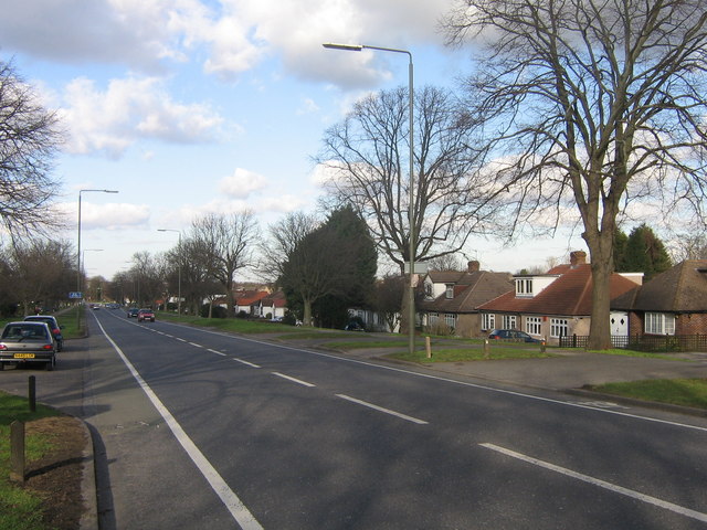
Image: © Ian Capper Taken: 6 Feb 2008
Part of the Orpington bypass, built in the 1920s. As with a lot of the development in the Orpington area, the houses in this picture are all bungalows.
Images are licensed for reuse under creativecommons.org/licenses/by-sa/2.0
Image Location


Leaflet Map data © OpenStreetMap
Latitude
51.375227
Longitude
0.109223