Field to the east of Newdigate Colliery site
Introduction
The photograph on this page of Field to the east of Newdigate Colliery site by A J Paxton as part of the Geograph project.
The Geograph project started in 2005 with the aim of publishing, organising and preserving representative images for every square kilometre of Great Britain, Ireland and the Isle of Man.

There are currently over 7.5m images from over 14,400 individuals and you can help contribute to the project by visiting https://www.geograph.org.uk
Field to the east of Newdigate Colliery site
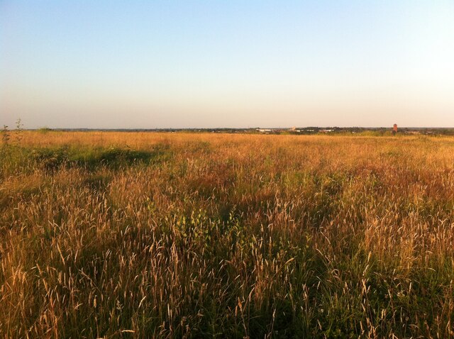
Image: © A J Paxton Taken: 17 Jul 2021
Newdigate Colliery extracted coal from 1901 to 1982 and was built on land belonging to the Arbury estate. https://www.ourwarwickshire.org.uk/content/article/newdigate-colliery The colliery buildings, spoil heaps and railways have since been removed and the site landscaped, but little of it has been developed, except for some areas of housing on the south side of the site along Arbury Lane. Here we are looking east across the eastern part of the site, which according to Ordnance Survey maps was always agricultural land or woodland. https://maps.nls.uk/geo/explore/side-by-side/#zoom=16&lat=52.48152&lon=-1.51019&layers=6&right=ESRIWorld It is now a prairie with a view over the town of Bedworth to the east. The Bedworth water tower, a prominent local landmark, can be seen to the right, buildings in the town centre to its left.
Images are licensed for reuse under creativecommons.org/licenses/by-sa/2.0
Image Location
Latitude
52.480964
Longitude
-1.503889