Lichfield Road: a new gable end
Introduction
The photograph on this page of Lichfield Road: a new gable end by John Sutton as part of the Geograph project.
The Geograph project started in 2005 with the aim of publishing, organising and preserving representative images for every square kilometre of Great Britain, Ireland and the Isle of Man.

There are currently over 7.5m images from over 14,400 individuals and you can help contribute to the project by visiting https://www.geograph.org.uk
Lichfield Road: a new gable end
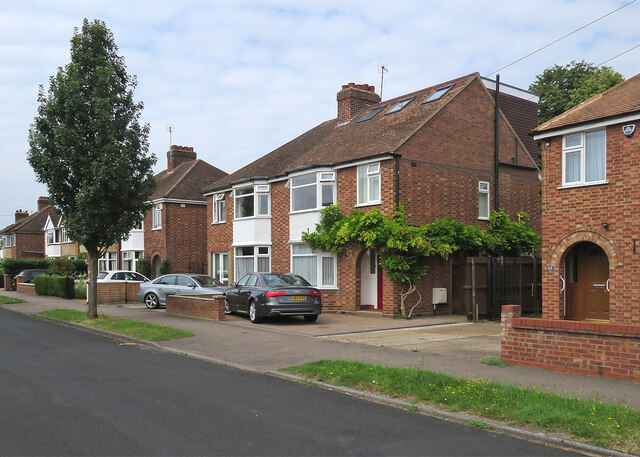
Image: © John Sutton Taken: 26 Jul 2021
A loft conversion has changed the roof shape and added dormer windows at the rear. Image] and Image] show building work earlier in 2021.
Images are licensed for reuse under creativecommons.org/licenses/by-sa/2.0
Image Location


Leaflet Map data © OpenStreetMap
Latitude
52.189875
Longitude
0.147863