View from a Romney-Dungeness train - Lade Fort
Introduction
The photograph on this page of View from a Romney-Dungeness train - Lade Fort by Nigel Thompson as part of the Geograph project.
The Geograph project started in 2005 with the aim of publishing, organising and preserving representative images for every square kilometre of Great Britain, Ireland and the Isle of Man.

There are currently over 7.5m images from over 14,400 individuals and you can help contribute to the project by visiting https://www.geograph.org.uk
View from a Romney-Dungeness train - Lade Fort
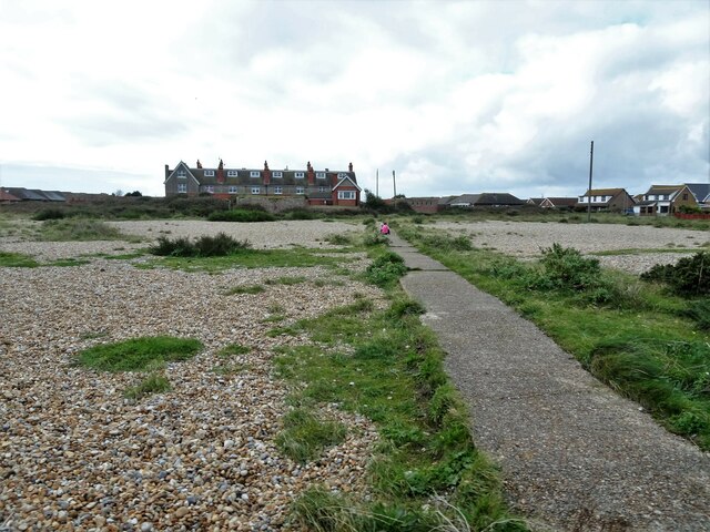
Image: © Nigel Thompson Taken: 25 Oct 2017
Built as a coastal battery in 1798, in the late 19th century Lade Fort was later converted to use as a coastguard station. The battery was again occupied during the Second World War and several reinforced concrete pillboxes were built.
Images are licensed for reuse under creativecommons.org/licenses/by-sa/2.0
Image Location
Latitude
50.947183
Longitude
0.964254