Houses and Harbour
Introduction
The photograph on this page of Houses and Harbour by Anne Burgess as part of the Geograph project.
The Geograph project started in 2005 with the aim of publishing, organising and preserving representative images for every square kilometre of Great Britain, Ireland and the Isle of Man.

There are currently over 7.5m images from over 14,400 individuals and you can help contribute to the project by visiting https://www.geograph.org.uk
Houses and Harbour
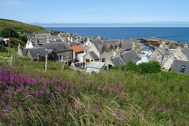
Image: © Anne Burgess Taken: 20 Jul 2021
Looking down on the huddled cottages beside Sandend Harbour from what is left of the coastal path to Findlater and Cullen. The path has been damaged by landlslips and has been allowed to get very overgrown.
Images are licensed for reuse under creativecommons.org/licenses/by-sa/2.0
Image Location
Latitude
57.685949
Longitude
-2.747971