Ripening wheat near New Bolsover
Introduction
The photograph on this page of Ripening wheat near New Bolsover by Bill Boaden as part of the Geograph project.
The Geograph project started in 2005 with the aim of publishing, organising and preserving representative images for every square kilometre of Great Britain, Ireland and the Isle of Man.

There are currently over 7.5m images from over 14,400 individuals and you can help contribute to the project by visiting https://www.geograph.org.uk
Ripening wheat near New Bolsover
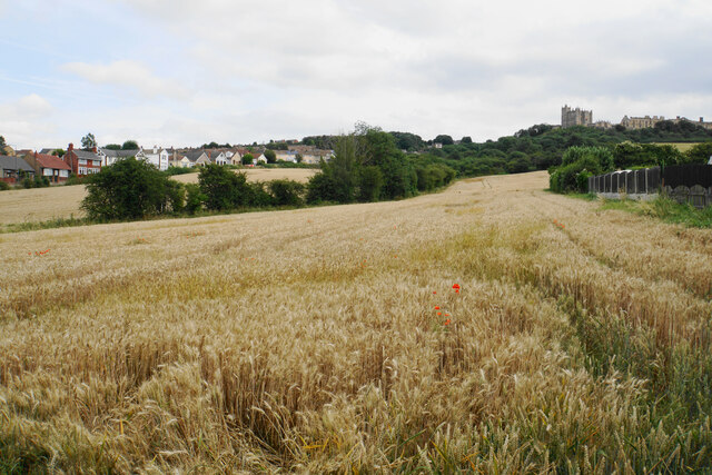
Image: © Bill Boaden Taken: 25 Jul 2021
Looking up the hill from Villas Road towards Bolsover Castle. A footpath is supposed to run somewhere through this field.
Images are licensed for reuse under creativecommons.org/licenses/by-sa/2.0
Image Location
Latitude
53.231848
Longitude
-1.304548