St Peter's Benchmark, Wrockwardine
Introduction
The photograph on this page of St Peter's Benchmark, Wrockwardine by Anthony Rowley as part of the Geograph project.
The Geograph project started in 2005 with the aim of publishing, organising and preserving representative images for every square kilometre of Great Britain, Ireland and the Isle of Man.

There are currently over 7.5m images from over 14,400 individuals and you can help contribute to the project by visiting https://www.geograph.org.uk
St Peter's Benchmark, Wrockwardine
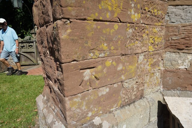
Image: © Anthony Rowley Taken: 17 Jul 2021
The OS Benchmark cut into a buttress on St Peter's Church, Wrockwardine W3W: truckload.unveils.tissue. It was last verified by the OS in 1967
Images are licensed for reuse under creativecommons.org/licenses/by-sa/2.0
Image Location
Latitude
52.704709
Longitude
-2.557224