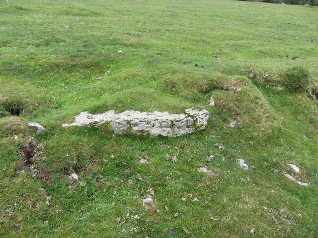
Old Boundary Marker on Trehudreth Downs, Blisland parish
Introduction
The photograph on this page of Old Boundary Marker on Trehudreth Downs, Blisland parish by P G Moore as part of the Geograph project.
The Geograph project started in 2005 with the aim of publishing, organising and preserving representative images for every square kilometre of Great Britain, Ireland and the Isle of Man.
There are currently over 7.5m images from over 14,400 individuals and you can help contribute to the project by visiting https://www.geograph.org.uk

Image: © P G Moore Taken: Unknown
Estate Boundary Marker on the open moorland of Trehudreth Downs 200 metres northeast of the moorland gate leading to the track to Wallhouse. Blisland parish. One of 11 stones on the western edge of Trehudreth Downs that appear to mark out a strip of land of 12 acres that adjoin the enclosed farmland of Penstroda. These stones follow the remains of medieval ditches and banks that formerly enclosed this area. This stone appears to be marked H P and P. H P indicates that part of this area was owned by Hayward, but the meaning of P is not known. Milestone Society National ID: CW_BLIS41em

