
Site of Newdigate Colliery, Astley Lane, Bedworth
Introduction
The photograph on this page of Site of Newdigate Colliery, Astley Lane, Bedworth by A J Paxton as part of the Geograph project.
The Geograph project started in 2005 with the aim of publishing, organising and preserving representative images for every square kilometre of Great Britain, Ireland and the Isle of Man.

There are currently over 7.5m images from over 14,400 individuals and you can help contribute to the project by visiting https://www.geograph.org.uk
Site of Newdigate Colliery, Astley Lane, Bedworth
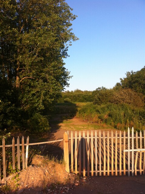
Image: © A J Paxton Taken: 17 Jul 2021
This was the terminus of the mineral line which took coal from the colliery to the rail network and to the Coventry Canal. Newdigate Colliery took its name from its original owner, Sir Francis Alexander Newdigate of Arbury Hall. The Newdigates had lived at Arbury since the 16th century and had a long history of exploiting the coal that lay under their land (they are also remembered as the employers of George Eliot's father Robert Evans). The colliery opened in 1901 but suffered from underground fires, which affected production, and was sold to a new company in 1914. It became more profitable from the 1920s onwards, when it was decided to mine only the top layer of the Warwickshire Thick Coal Seam. It was nationalised in 1947 and pithead baths and a canteen were built for the miners. Exhaustion of the coal reserves led to its closure in 1982. https://www.ourwarwickshire.org.uk/content/article/newdigate-colliery Little, if anything, of the colliery remains above ground level, although the line of the railway survives, without its tracks, parts of it now a public footpath. The Arbury Estate proposes to develop the southern part of the colliery site as housing. https://www.coventrytelegraph.net/news/coventry-news/plans-169-new-homes-former-17570948
Images are licensed for reuse under creativecommons.org/licenses/by-sa/2.0
Image Location

Latitude
52.481005
Longitude
-1.513754