Farm Building, Torpenhow Hall
Introduction
The photograph on this page of Farm Building, Torpenhow Hall by Adrian Taylor as part of the Geograph project.
The Geograph project started in 2005 with the aim of publishing, organising and preserving representative images for every square kilometre of Great Britain, Ireland and the Isle of Man.

There are currently over 7.5m images from over 14,400 individuals and you can help contribute to the project by visiting https://www.geograph.org.uk
Farm Building, Torpenhow Hall
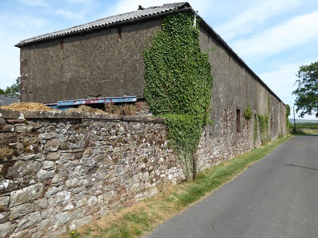
Image: © Adrian Taylor Taken: 24 Jul 2021
This long farm building adjoins Torpenhow Hall. There is an Ordnance Survey flush bracket benchmark just above ground level on the wall at the corner of the building, beside the downspout (photograph Image).
Images are licensed for reuse under creativecommons.org/licenses/by-sa/2.0
Image Location
Latitude
54.746315
Longitude
-3.235448