The A171
Introduction
The photograph on this page of The A171 by Malcolm Neal as part of the Geograph project.
The Geograph project started in 2005 with the aim of publishing, organising and preserving representative images for every square kilometre of Great Britain, Ireland and the Isle of Man.

There are currently over 7.5m images from over 14,400 individuals and you can help contribute to the project by visiting https://www.geograph.org.uk
The A171
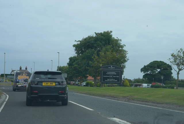
Image: © Malcolm Neal Taken: 24 Jul 2021
The large sign is for an eating establishment alongside the A171.
Images are licensed for reuse under creativecommons.org/licenses/by-sa/2.0
Image Location
Latitude
54.478807
Longitude
-0.650789